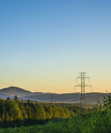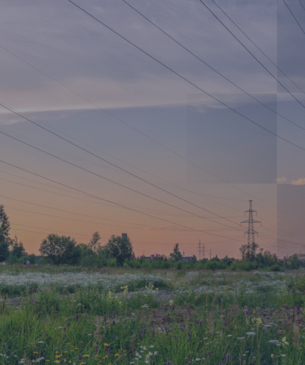

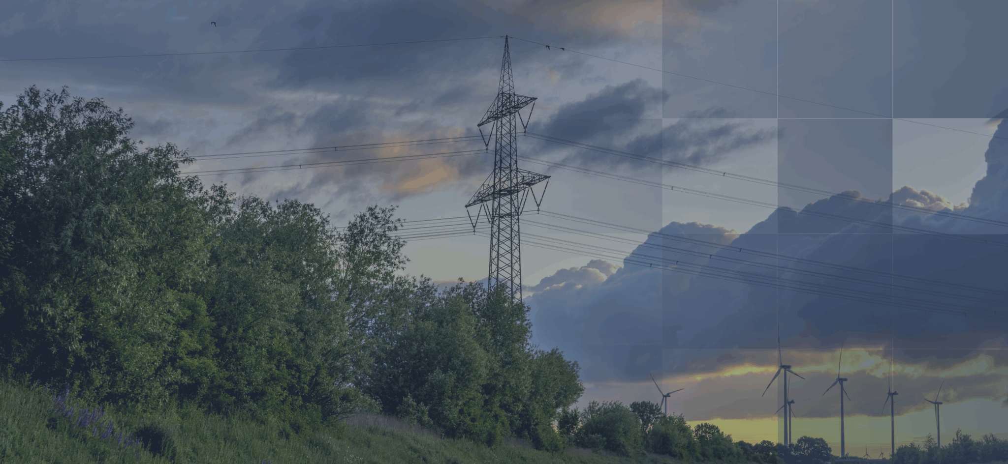
Red Eléctrica de España (REE), the Spanish TSO, developed a Wind Map for Spain’s territory to better understand wind-related risks to its electricity infrastructure. The project helps identify areas exposed to strong winds and guides decisions on where to build new lines or reinforce existing ones. By mapping local wind conditions, Red Eléctrica aims to reduce future damages, strengthen its assets, and plan safer, more resilient infrastructure.
Highlights
01
Created a national wind map to identify and avoid high-risk areas.
02
Designed criteria to reflect wind-related impacts on power lines.
03
Supports reinforcing asessts in exposed areas, such as islands.
04
Improved contingency plans to ensure faster response during wind events.
05
Uses IPCC scenarios (RCP and SSP) and data from Copernicus, AdapteCCa, and AEMET.
Main Information
Red Eléctrica’s Wind Map Project is part of its broader strategy to adapt to climate change and to strengthen resilience against extreme weather events. The map identifies regional wind patterns and risk zones, helping Red Eléctrica to plan new projects and to reinforce assets more effectively.
Scenarios used in these and other efforts include IPCC scenarios (RCP and SSP) and data from Copernicus Climate Change Service, AdapteCCa, and AEMET.
Looking ahead, Red Eléctrica plans to apply a mix of preventive, mitigation, and restorative measures to handle different climate hazards. The company’s climate risk assessments follow TCFD and EU Directive 2013/34/EU (ESRS) standards and consider hazards like flooding, extreme heat, wildfires, drought, and sea-level rise.
other practices